

M-01
山思盒子
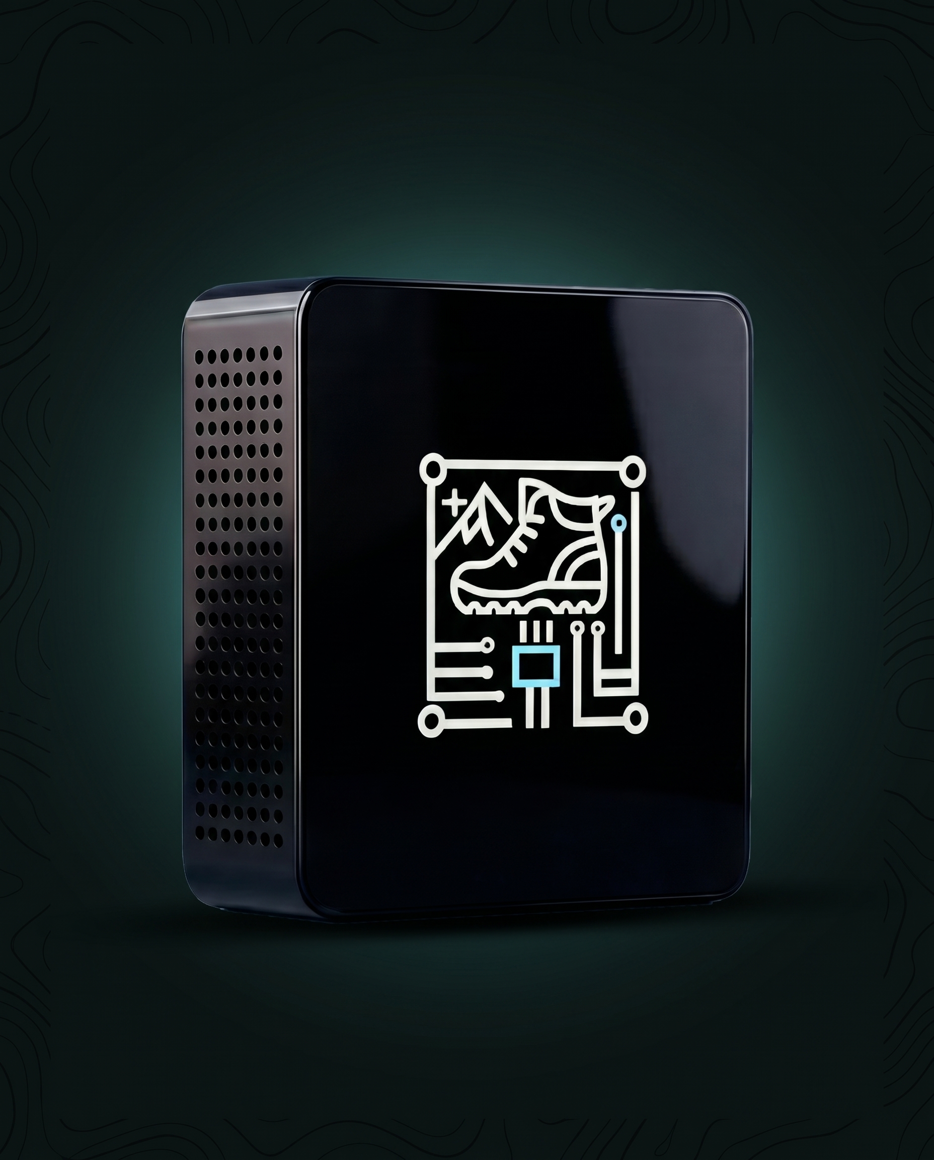
MONTEK BOX
山思盒子是一款部署在野外的轻量化边缘计算工作站,可在无公网环境下完成 AI 图像识别、无人机飞控、数据管理和三维模型展示,让保护地一线也具备本地计算能力。

山思硬件家族围绕保护地现场的感知、通信与计算需求展开,从前端识别、随身定位、信号自组网到野外边缘算力,共同支撑山思数字孪生保护地管理系统在无公网环境下稳定运行。
MONTEK BOX
山思盒子是一款部署在野外的轻量化边缘计算工作站,可在无公网环境下完成 AI 图像识别、无人机飞控、数据管理和三维模型展示,让保护地一线也具备本地计算能力。
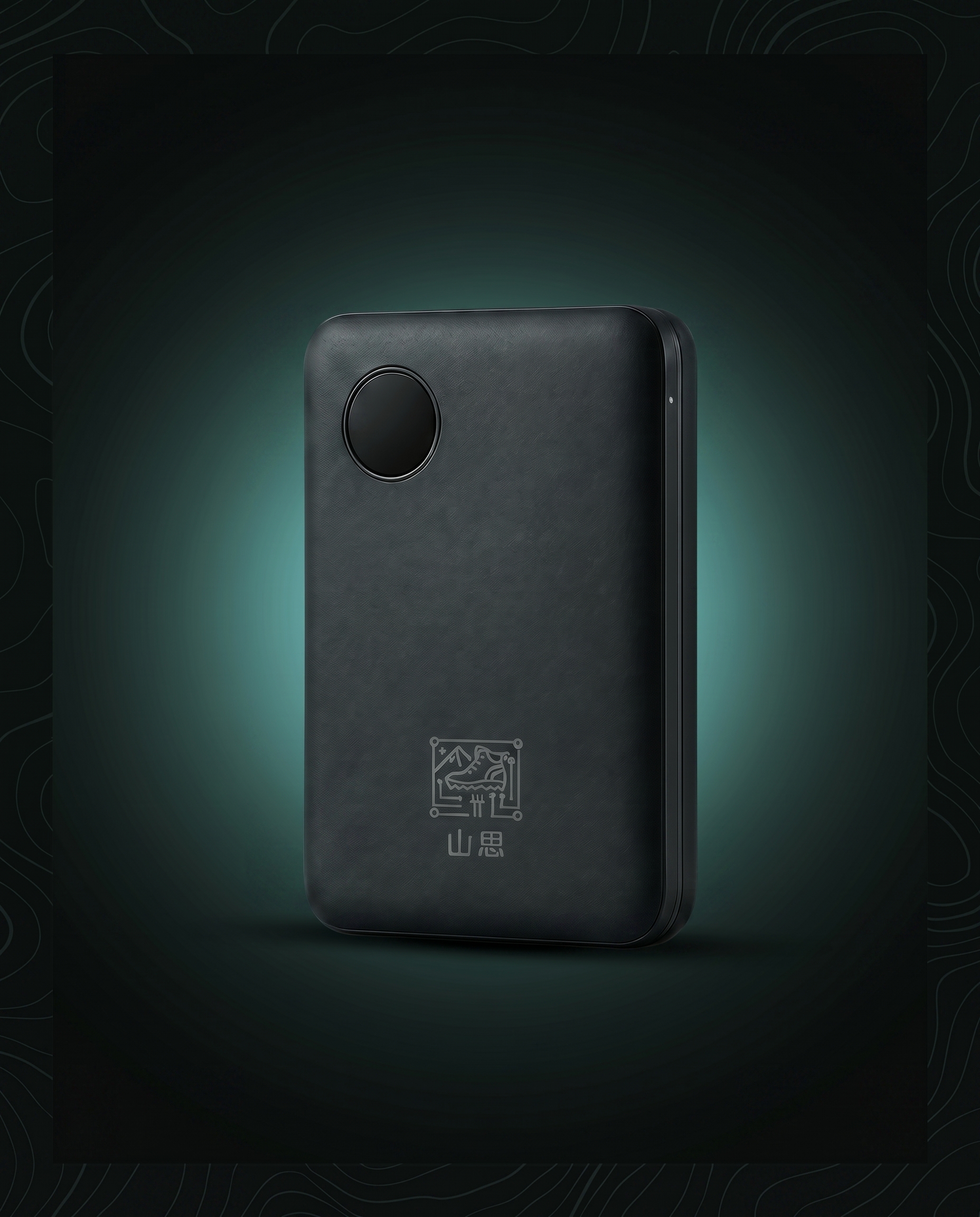
MONTEK BEACON
山思信标是一款巡护员随身定位与遇险求救终端,可在不依赖公网和卫星信号的野外环境中长时间工作,让深山巡护不再担心失联。
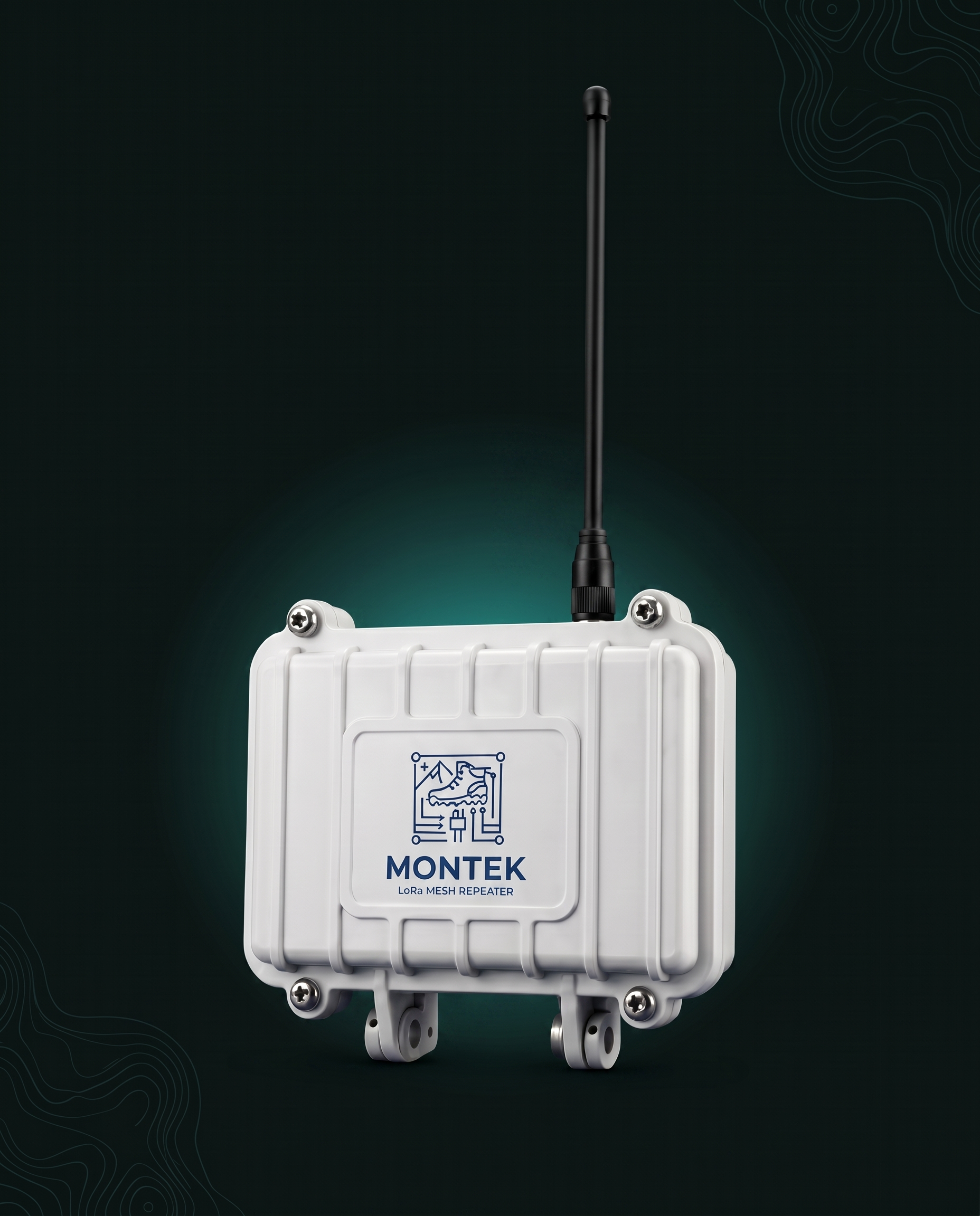
MONTEK REPEATER
山思中继是一款面向深山保护地的 LoRa 自组网中继设备,可长期部署在野外,补足信号盲区,保障巡护定位与低功耗传感器数据稳定回传。
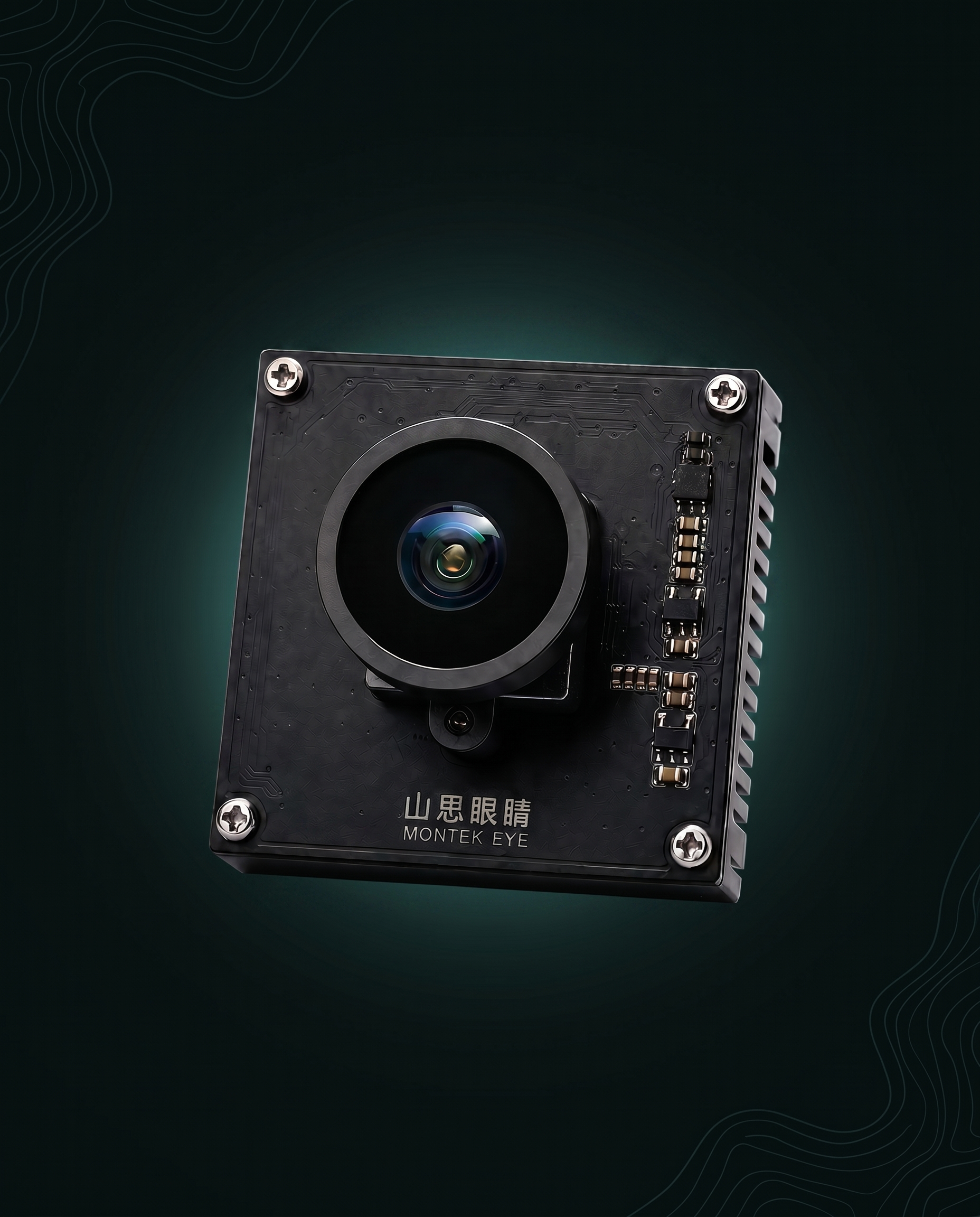
MONTEK EYE
山思眼睛是一款具备边缘计算能力的前端 AI 视觉终端,可嵌入多类感知设备,在野外现场完成识别、分级预警和低功耗回传,让保护地设备从“拍到”走向“看懂”。